NOTE: Due to winter storms and the recovery efforts from the 2020 wildfires, many parks may be closed or access may be limited. Whenever possible, consider how you can recreate responsibly and always check park websites for the latest information on available amenities, access, or closures.
Most of Big Basin and Butano State Parks and Skyline-to-Sea Trail are closed. You can donate to Big Basin's Future Fund and help California State Parks with Reimagining Big Basin and keep connected with progress to re-open these parks and trails.
Plan Your Activity
Hike
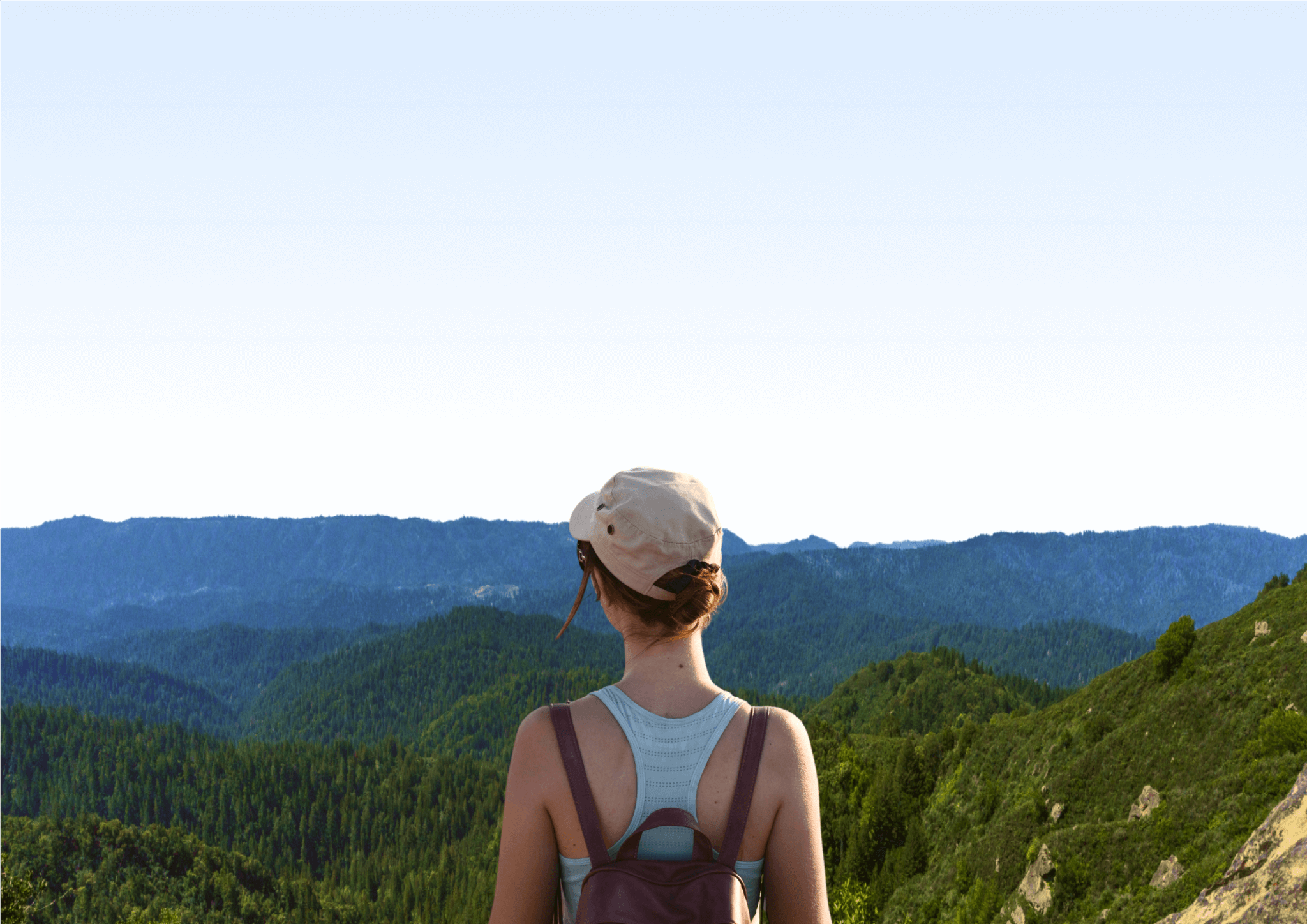
Find the right trail to boost your health and wellness in the Santa Cruz mountains with our Trails Rx program. With Dr. Hackenmiller's tailored suggestions for each trail, you can get the most health benefits and connection to nature from your time outdoors.
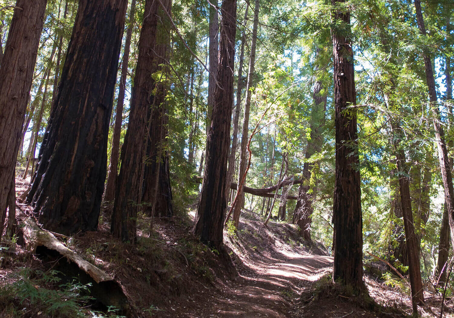
Exploring Nature and Leaving It Be
Tips for protecting and enjoying nature, and helping slow climate change.
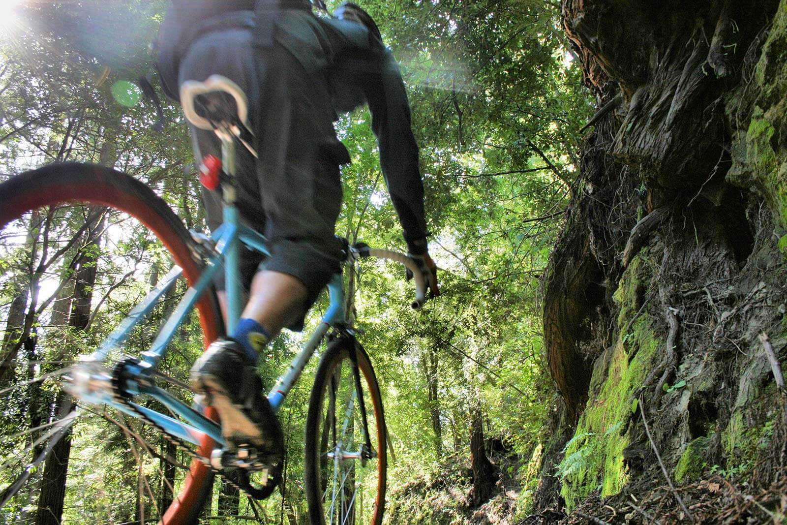
Bike
The most scenic mountain biking trails in the Santa Cruz mountains from Hilltromper.
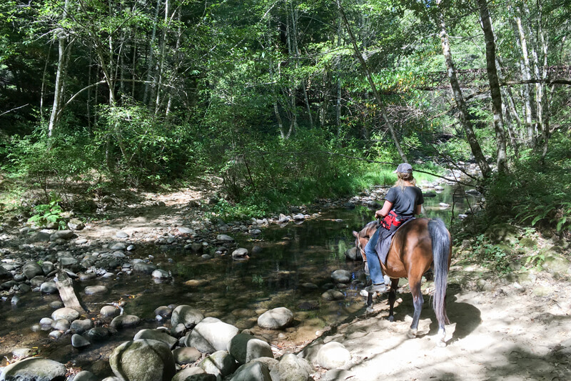
Ride
Check out the Santa Cruz mountains' newest trails open to horses: hu′-mĭs, mâ-rŭs, and yu'-kĭs.
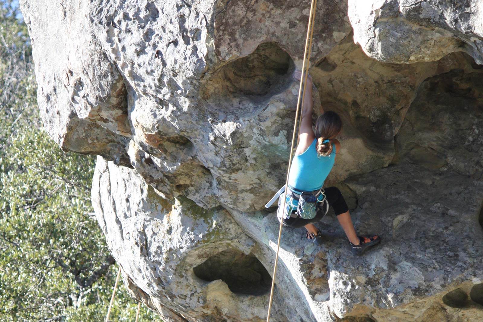
Climb
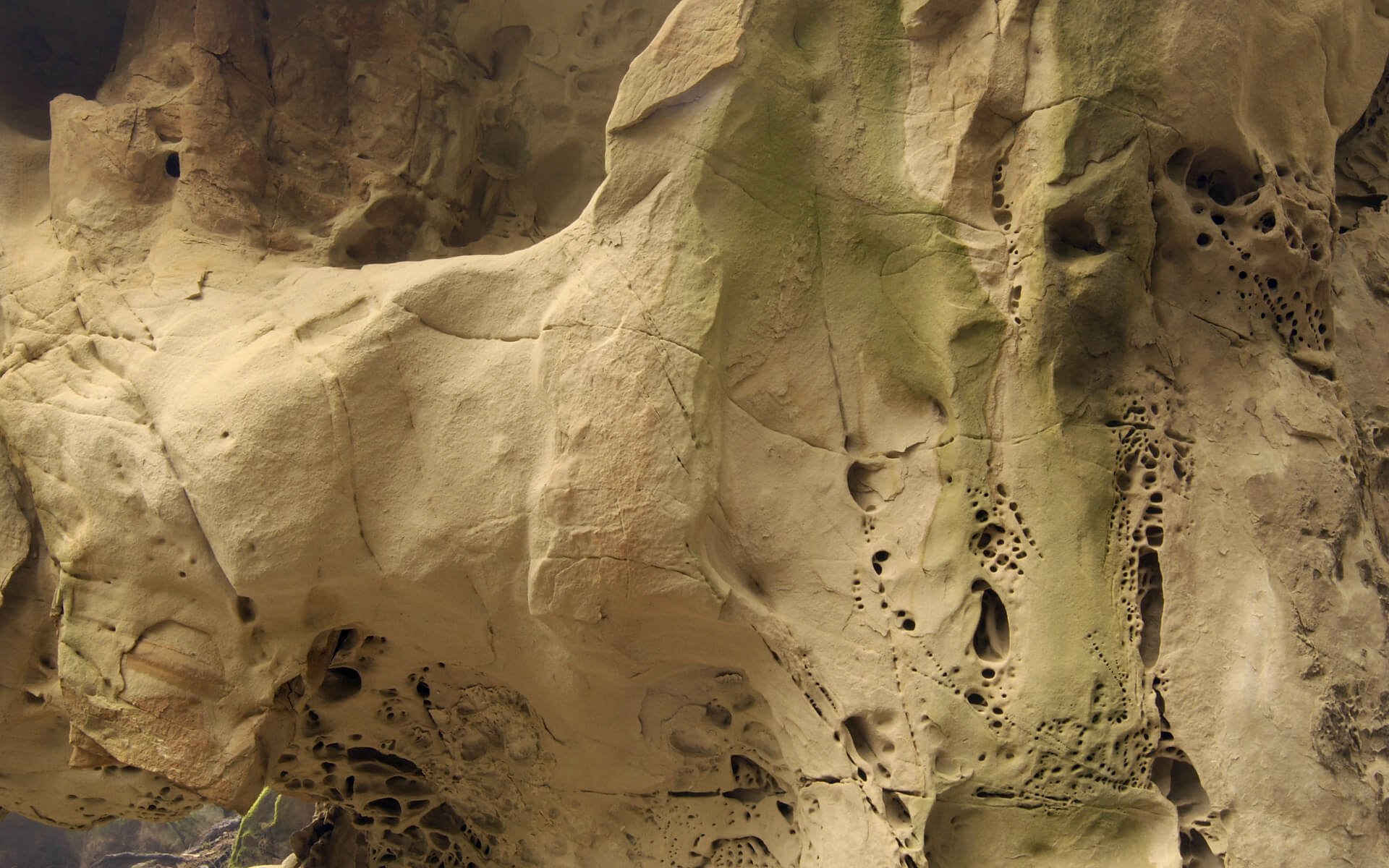
Check out the "grippy" Vaqueros sandstone that climbers all around the San Francisco Bay love with this guide from Hilltromper.
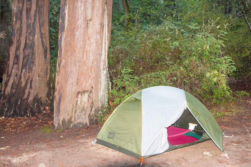
Camp and Backpack
Check out our resources to help you plan your trip and discover new favorite places in the redwood forests of the Santa Cruz mountains.
Maps
- National Geographic’s map of the Santa Cruz Mountains has trails, campgrounds, detailed topography, park access points, roads, hundreds of points of interest and much more. To survive years of adventuring, it’s waterproof, tear-proof and useful.
- Sempervirens Fund trail Map 1 includes the entire network of trails connecting Castle Rock, Big Basin Redwoods, and Portola Redwoods State Parks.
- Sempervirens Fund trail Map 2 includes Big Basin Redwoods State Park, Butano Redwoods State Park, Año Nuevo State Reserve, and all internal and connecting trails.
Call us at (650) 949-1453 to order a map today!
Guidebooks
- Best Short Hikes in Redwood National and State Parks including Humboldt State Park by Jerry and Gisela Rohde. Mountaineers Books, 2004. Hikes throughout northern California are detailed in this guide book.
- The Santa Cruz Mountain Trail Book by Tom Taber. Publisher’s Group West, 2002. This guide, a long-time favorite, includes information about local history, geology, and camping as well as biking and equine trail access.
- Peninsula Trails by Jean Rusmore, Betsy Crowder, and Frances Spangle. Wilderness Press, 2000. This trail guide covers walks in parks and trails along the Bay, in the foothills and mountains, the forests of southwest San Mateo County, the parks and beaches along its coast, and routes leading to Big Basin Redwoods State Park.
- Southbay Trails by Jean Rusmore, Betsy Crowder, and Frances Spangle. Wilderness Press, 2001. Many Santa Cruz mountains redwood hikes are included in this trail guide that ranges from the Diablo Range to the Pacific Ocean. Hikes are clearly described with simple maps and black and white photographs.
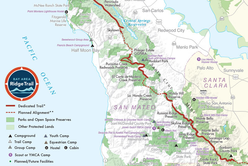
- Bay Area Ridge Trail By Elizabeth Byers & Jean Rusmore. Wilderness Press, 2019. The fully updated official guide to the 375-mile route that spans nine counties and provides easy access to hiking, mountain biking, and horseback riding across oak-studded grasslands and through tranquil forests.
Volunteer
It takes many people to help protect, restore, and connect the Santa Cruz mountains for us, wildlife and future generations to enjoy. From trail work to office work, we’d love to have your help! Check out our Volunteer page.
